Best of Cascades - Day trip ideas from Seattle

Snow-clad peaks of the Cascade Range in the Pacific North West is just one of the reasons to go on epic road trips. Seattle is a good base to start your journey to explore these majestic volcanic peaks and trails surrounding them.
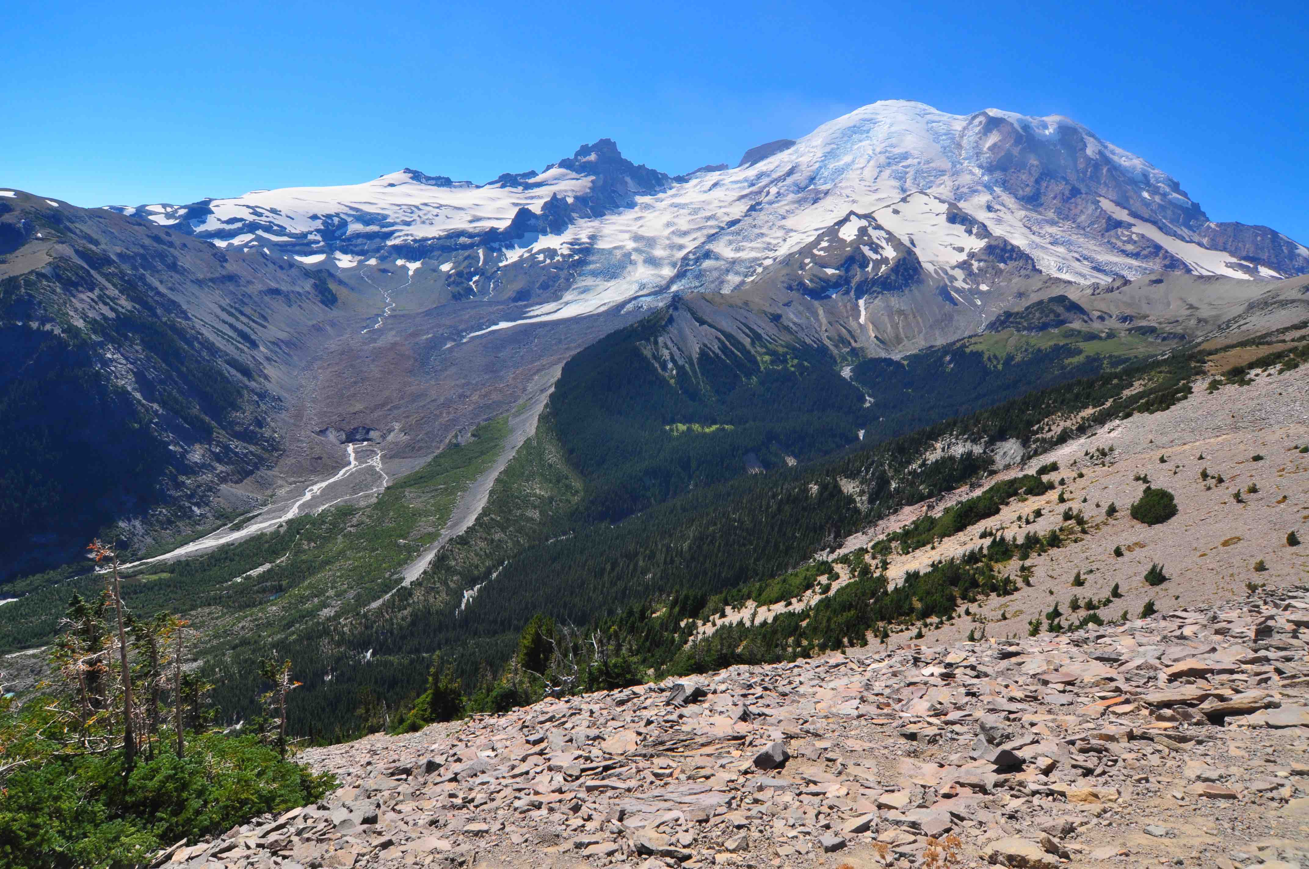
1. Sunrise - Mt Rainier National Park
Mount Rainier stands as an icon in the Washington landscape and rises out of the Cascade Mountain Range 14,411 feet . An active volcano, Mount Rainier is the most glaciated peak in the contiguous U.S.A. Most roads are open from late May to early October, which allow for both stunning views and access to a wide range of hiking trails and other sites.
Sunrise, at 6400 feet, is the highest point to which you can drive in all of Mt. Rainier National Park – and all the Cascades, for that matter. It offers the park’s most panoramic views and is 1000 feet higher than Paradise. We recommend to take the Chinook highway to reach Sunrise area.
Sunrise and Paradise are the major attractions but they are located at different ends of the park. Acess to We recommend doing only one in a day as there so many beautiful hikes and trails, at one location itself
-
Drive time: 2.30 hrs(one way)
-
Entry : Paid
-
Current Conditions Road Status:
-
Location: Sunrise Visitor Center, Sunrise Park Rd, Ashford, WA 98304
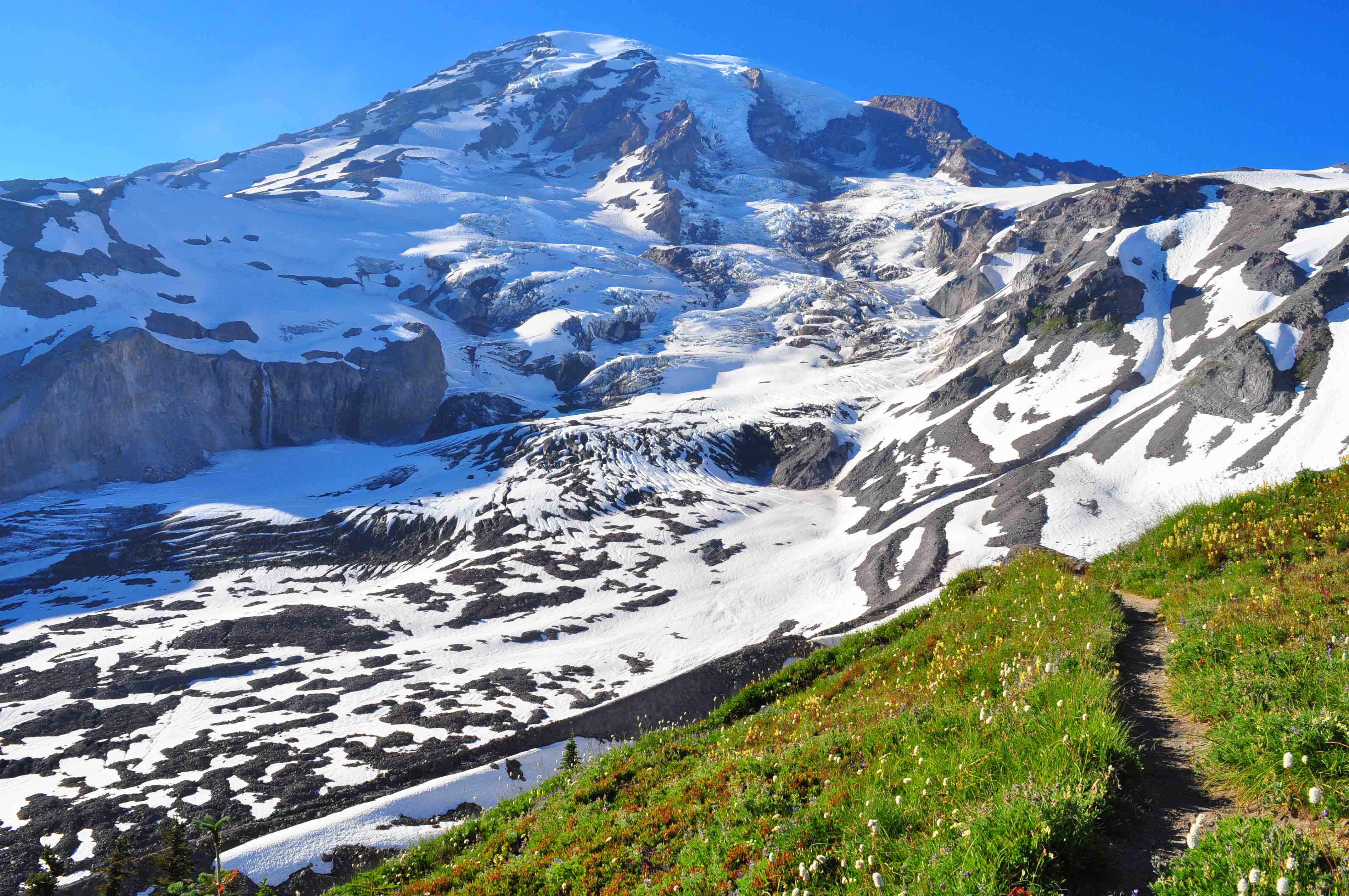
2. Paradise Area- Mt Rainier National Park
Paradise area is the most visited section in Mt Rainer National park. At 5,400 feet, this area has glorious views of Mount Rainier and panoromic trails. If you want to do one trail, do the Panorama trail
-
Drive time: 2.30 hrs(one way)
-
Entry : Paid
-
Current Conditions Road Status:
-
Location: Henry M Jackson Visitor Center, Paradise Rd E, Ashford, WA 98304
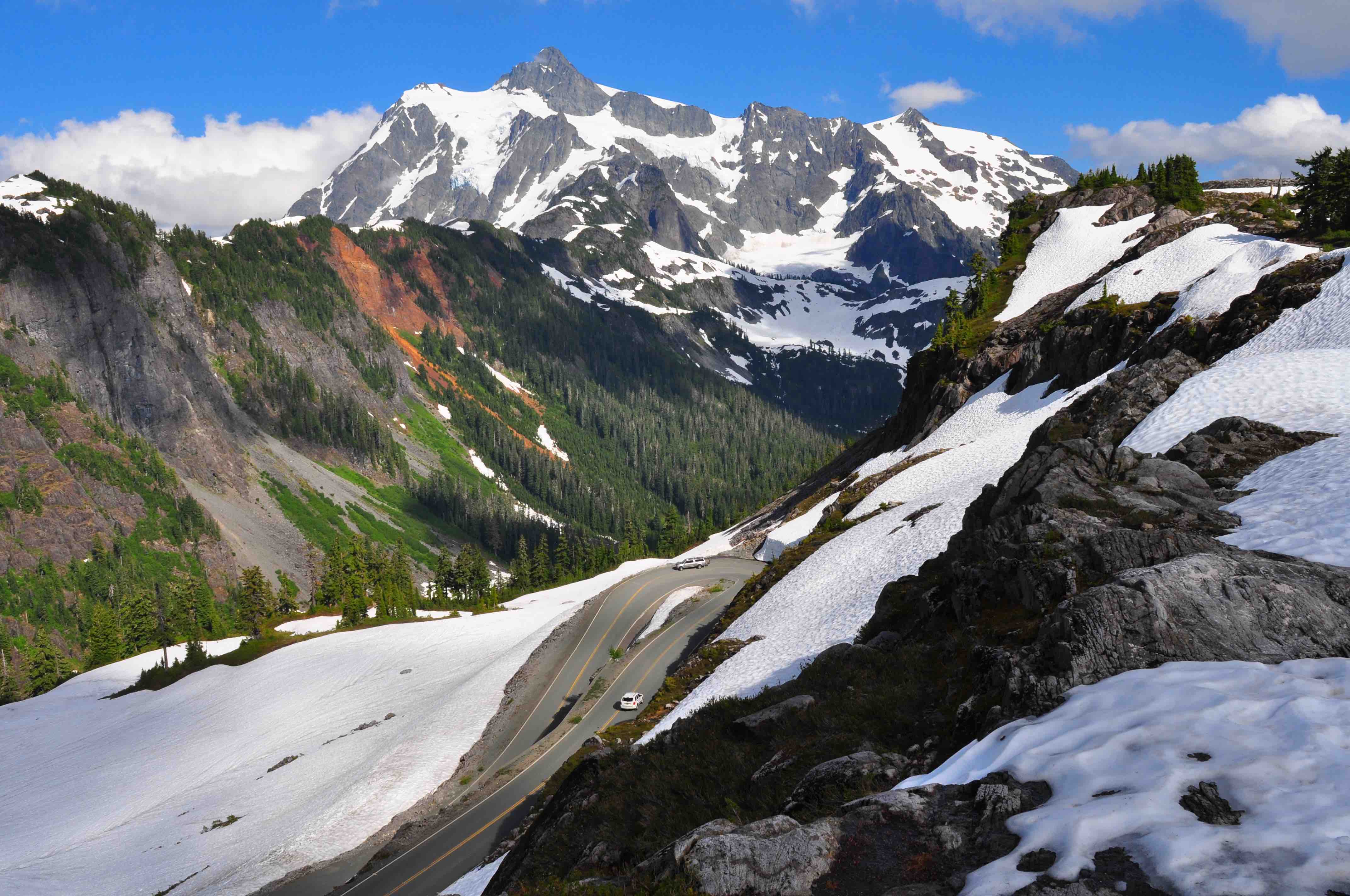
3. Artist Point - Mt Baker Area
Artist Point, at the very end of the Mt. Baker Highway and features stunning views of Mount Baker and Mount Shuksan. Artist Point is the top competitor for best viewpoint in Washinngton state. The beautifully shaped Mount Shuksan is the star of the area, with a gorgeous summit pyramid and several impressive glaciers.The road opening is seasonal and make and always make sure to check the road status.
Read more about hikes in this area in our other blogs.
- Drive time: 3 hrs (one way)
- Entry : Paid, Free (National park pass, Northwest forest pass etc)
- Road Status: Check here at WSDOT
- Location: Artist Point, Deming, WA 98244
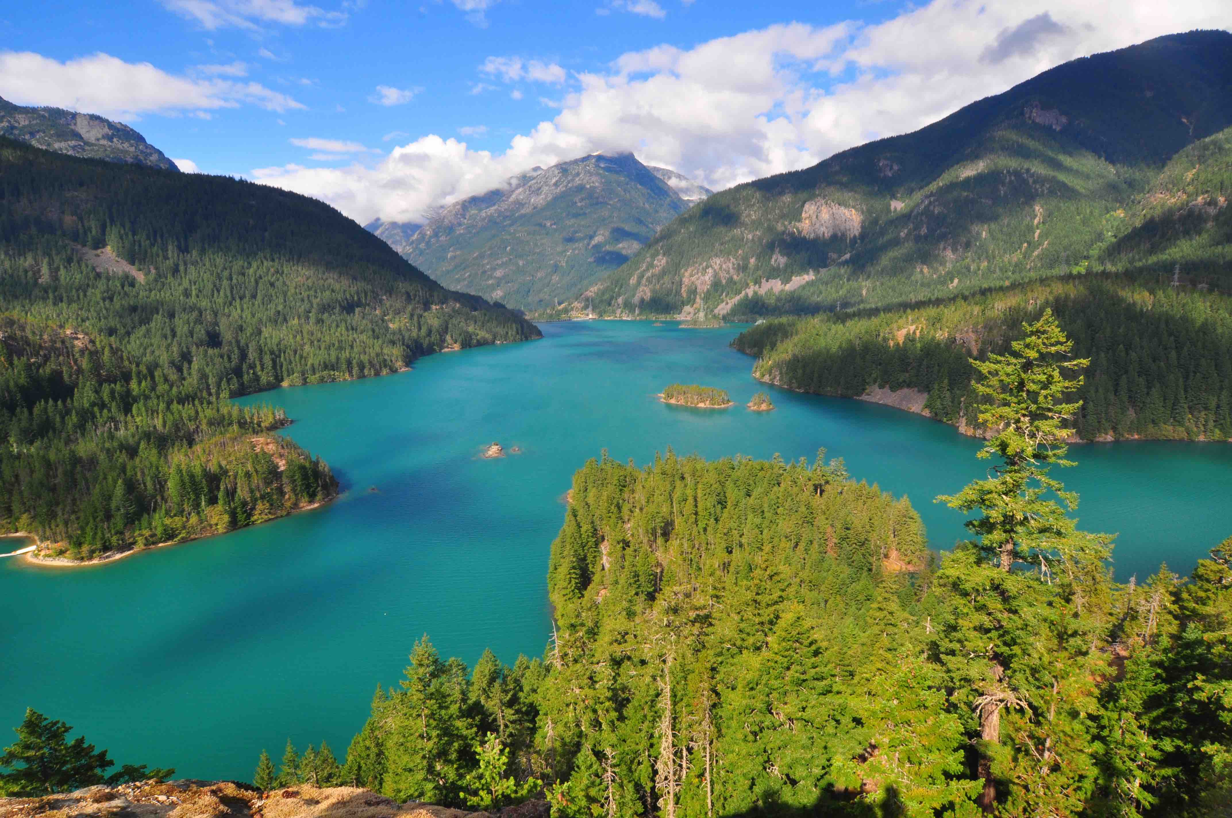
4. Diablo Lake - North Cascades National Park
Diablo Lake is the crown jewel of the North Cascades National Park.The lake is created by Diablo Dam, is located between Ross Lake and Gorge Lake on the Skagit River.Diablo Lake overlook provides the best view of the lake from the North Cascades Highway, and it’s really incredible.If you want to reach the lake, you need to hike the Diable lake trail(around 7 miles in and out)
The road is seasonal and always check the weather conditions before you head out.
Read more about hikes in this area in our blogs.
- Drive time: 2 hrs 30 mins(one way)
- Entry : Free
- Road Status: Check here at WSDOT
- Location: Diablo Lake Vista Point, N Cascades Hwy, Rockport, WA 98283
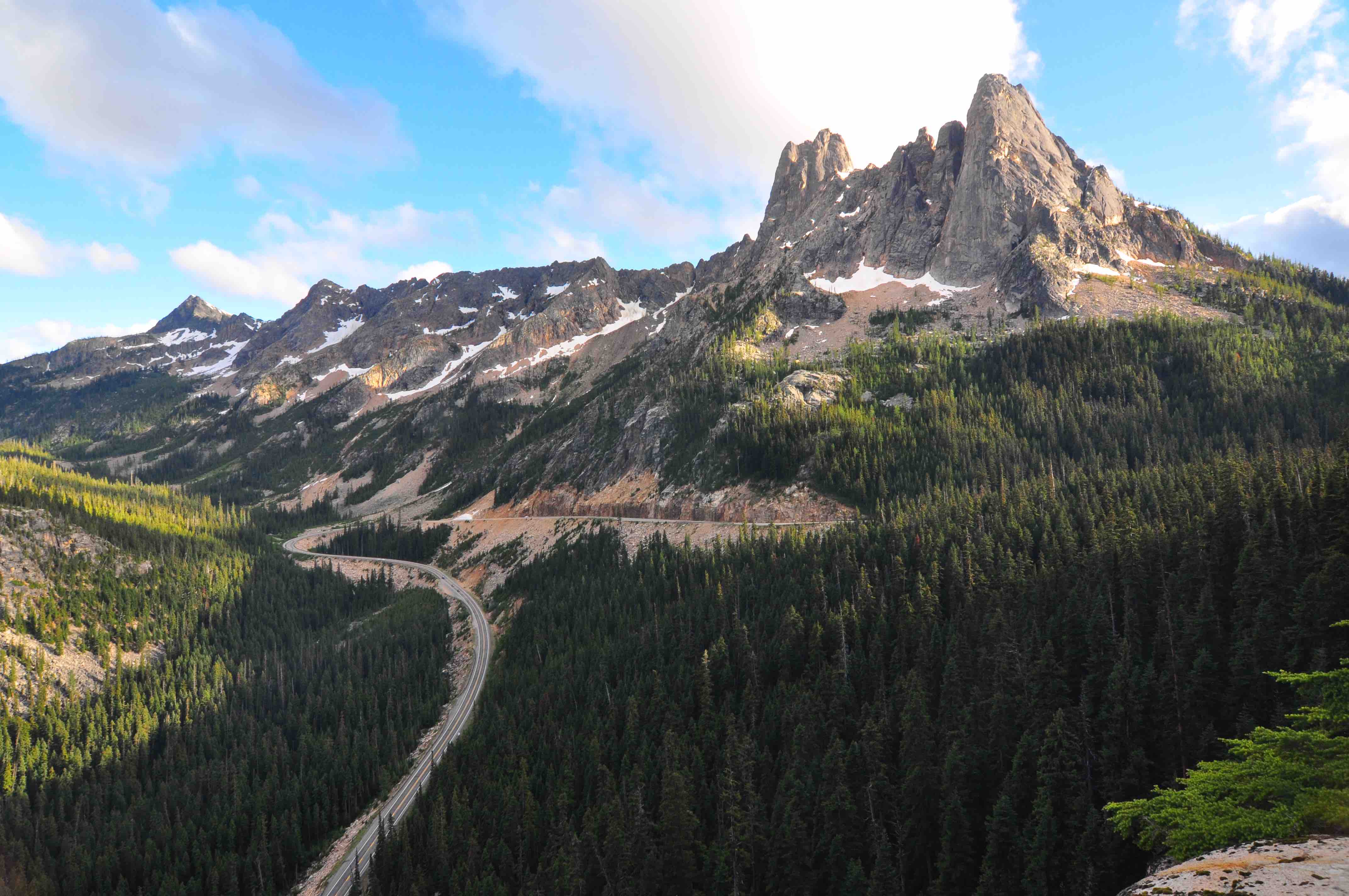
5. Washington pass overlook - North Cascades Highway
Washington overlook on Hwy 20, att 5476 feet, the view of Liberty Bell Mountain and other peaks is spectacular.The views from the overlook are easy to access from a parking lot, and ¼ mile of the path is paved and wheelchair accessible. You can combine this with the Diablo lake trip as they are on the same highway, around 30 mins further up. There are lot of beautiful hikes in the area. Check out our North Cascades Hike blog to find more.
Read more about hikes in this area in our blogs.
- Drive time: 3 hrs (one way)
- Entry : Free
- Road Status: Check here at WSDOT
- Location: Washington Pass, Washington 98862
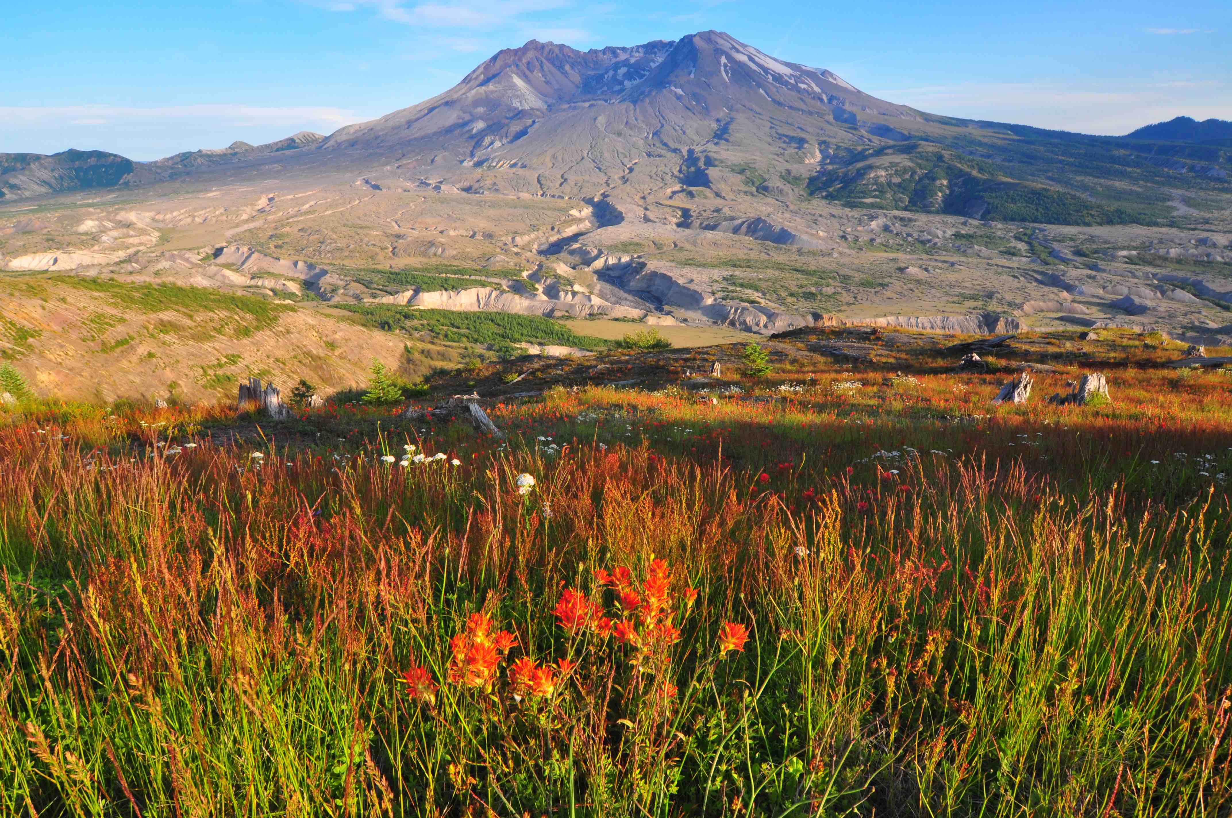
6. Johnston Ridge observatory - Mt St. Helens
Mount St. Helens views from Johnston Ridge observatory, sittig on a bluff just 5.5 miles from the crater at an elevation of 4314 ft/1327 m, is nothing short of amazing. You can see all of the lava dome, crater, pumice plain and the landslide deposit reminding you of the last eruption.Observatory is located 53 miles east of the town of Castle Rock at the end of State Route 504.
Read more about hikes in this area in our blogs.
- Drive time: 3 hrs (one way)
- Road Status: Check here at WSDOT
- Location: Johnston Ridge Observatory, 24000 Spirit Lake Hwy, Toutle, WA 98649
- Click here for more Info
Travel Tips
- Spring & Summer season is the best time to explore Cascades.
- Most of the roads open only after May and closes in October.
- Hike a trail to explore the area
- Stay in one of the numerous campsites in the national park areas
About Us

Travel makes one modest. You see what a tiny place you occupy in the world. We love travel and exploring new places and culture. We started this blog to share our travel journeys, experiences and planning information and of course some pictures of the destinations. We hope to provide some insight about the destinations visited by us and to inspire other people to travel more. We have full time jobs but we make sure we use every opportunity to get out and explore the wonderful creation around us.
Know MoreYou might also be interested in:
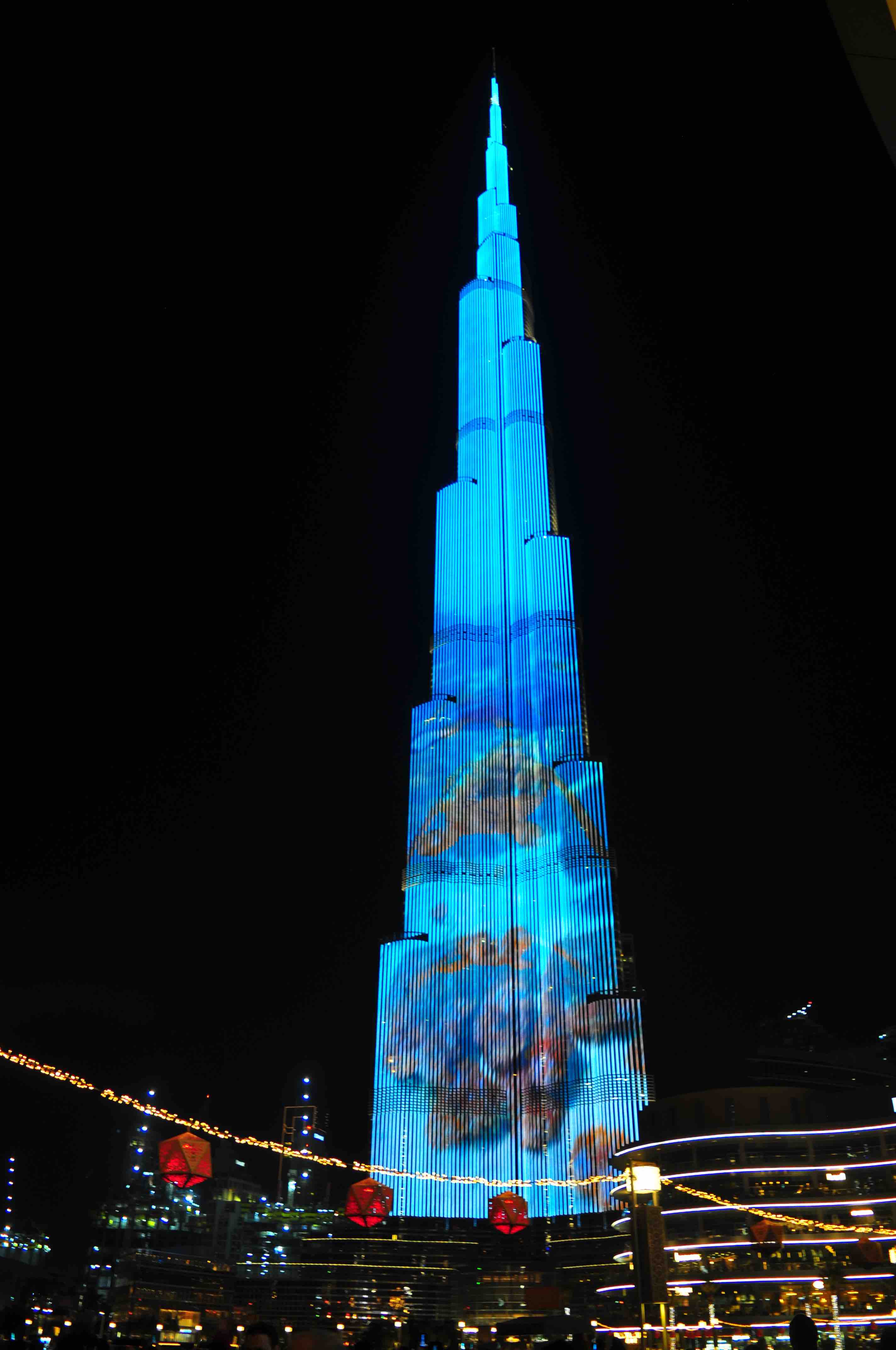
With a total height of 829.8 m and a roof height of 828 m, the Burj Khalifa has been the tallest structure and building in the world since its topping out in 2009.
read more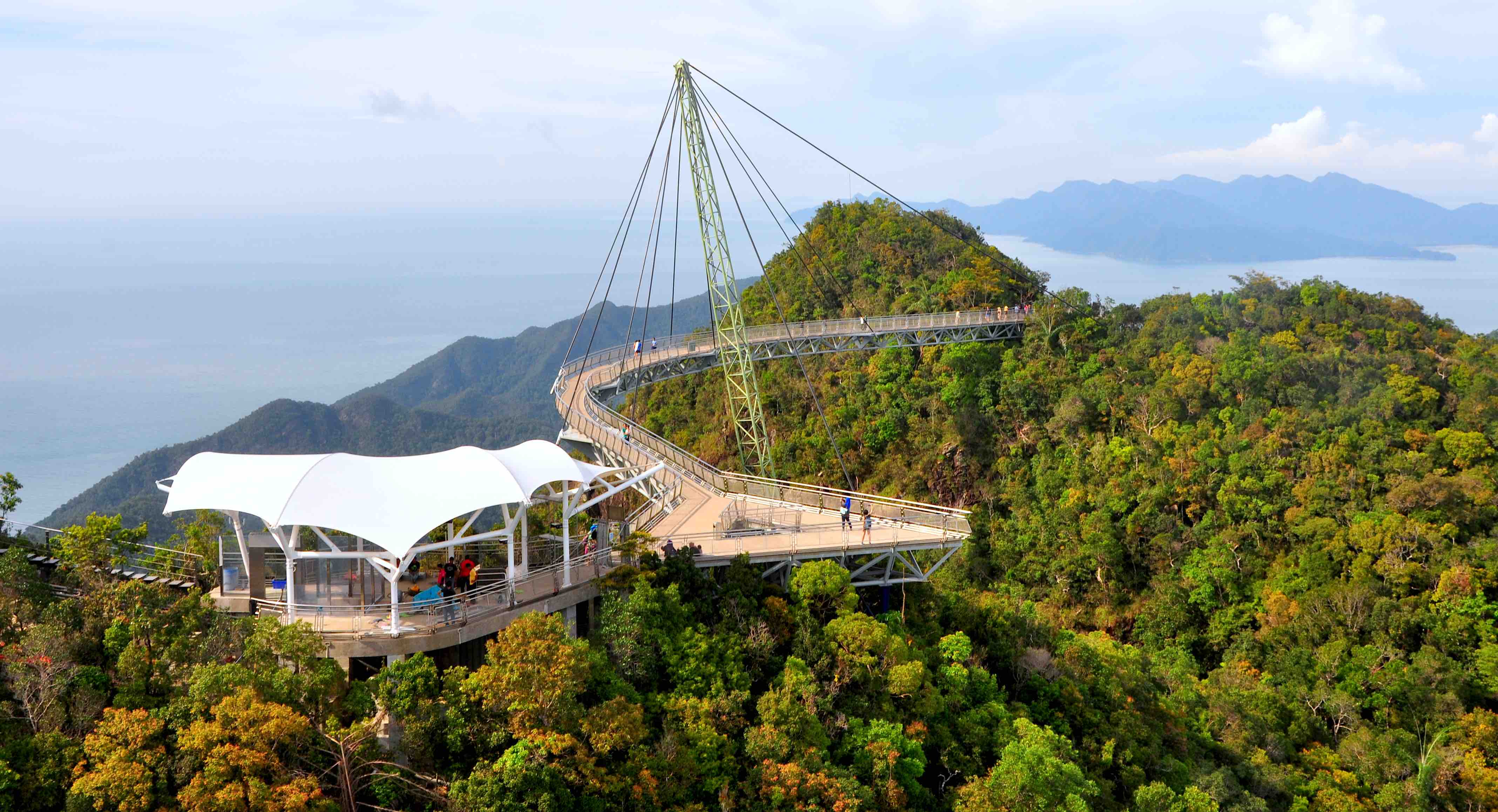
Langkawi Sky Bridge is a 125 metres long curved pedestrian cable-stayed and suspended pedestrian that swings out over Langkawi’s second-highest mountain, Gunung Mat Cincang. At 850m high, Gunung Mat Cincang is the second highest mountain in Langkawi and offers some pretty spectacular views of the island. The Langkawi Sky Bridge is located at the ’end’ of the Langkawi Cable Car ride that takes you to top of Mount Mat Cinchang. The journey to the top starts out at the Oriental Village in the upper northwest of Langkawi Island, near Pantai Kok.
read more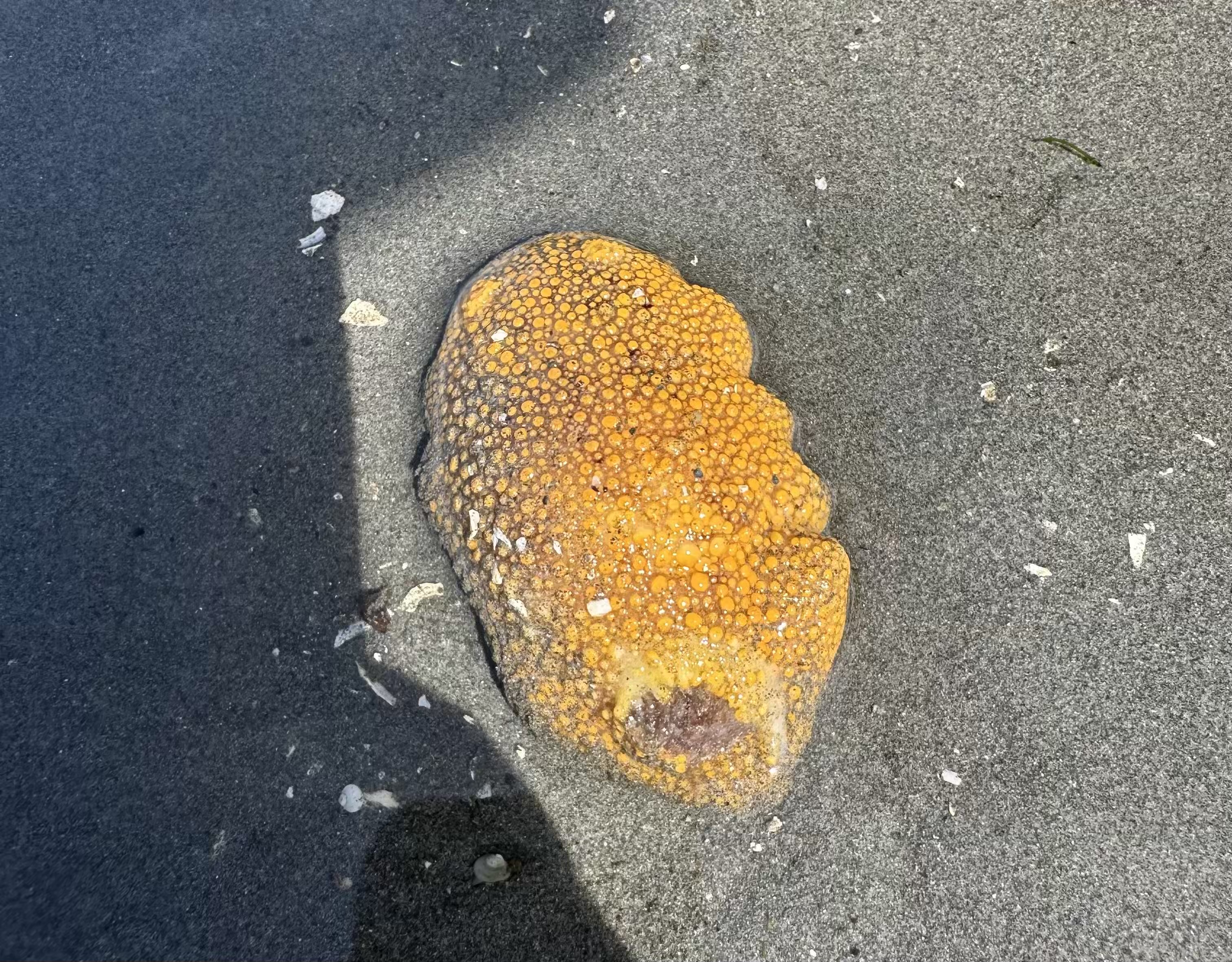
During a -3 ft low tide at Brackett’s Landing in Edmonds, we spotted more sea life than we expected. Here is a quick visual guide to what we found and how to identify each one on your own trip.
read more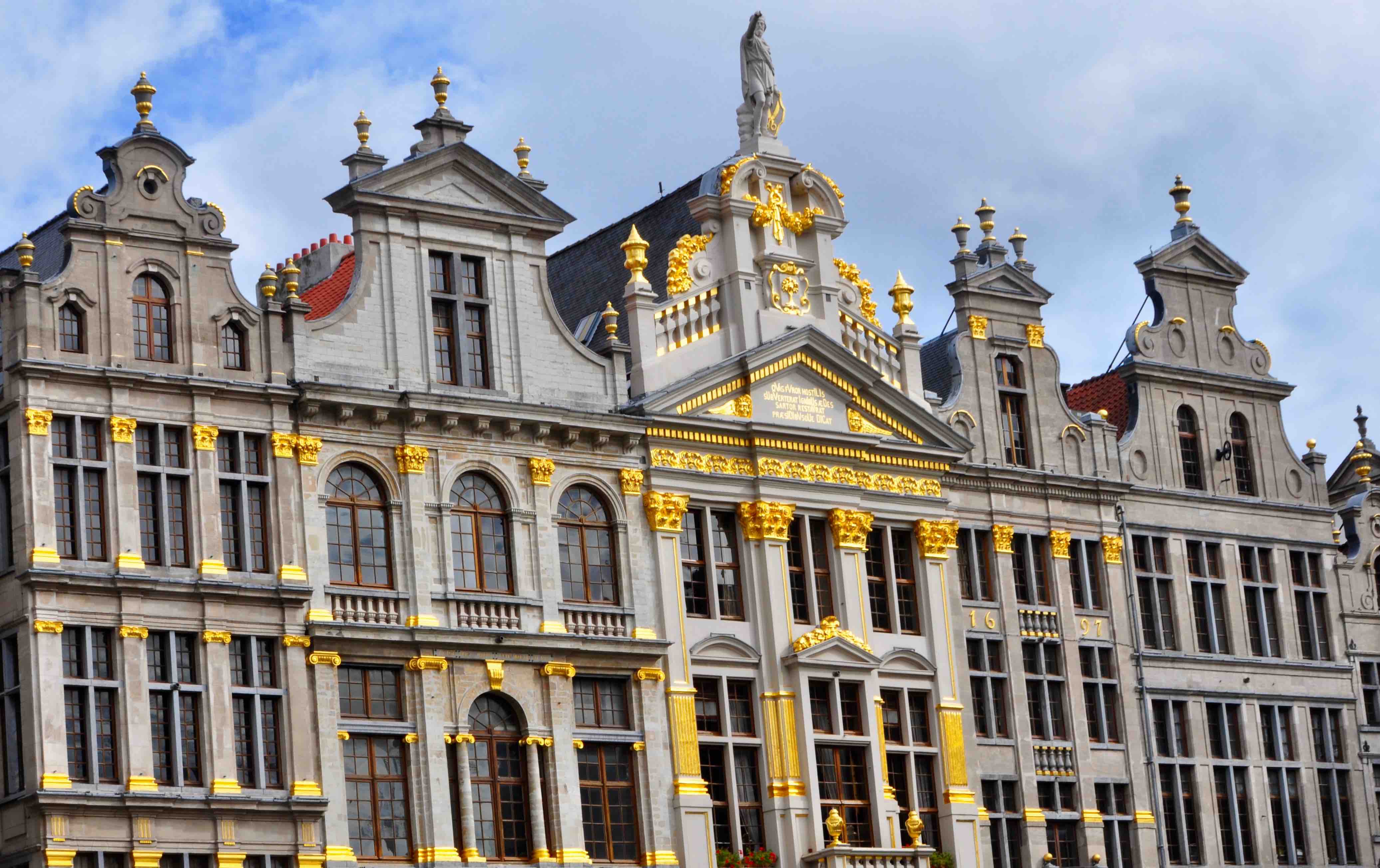
Capital cities of Brussels(capital of Belgium) and Amsterdam(capital of Netherlands) are close to each other and separated by 2 hours by train. Trains are an effective way, as you would have heard already, to travel between European cities.
read more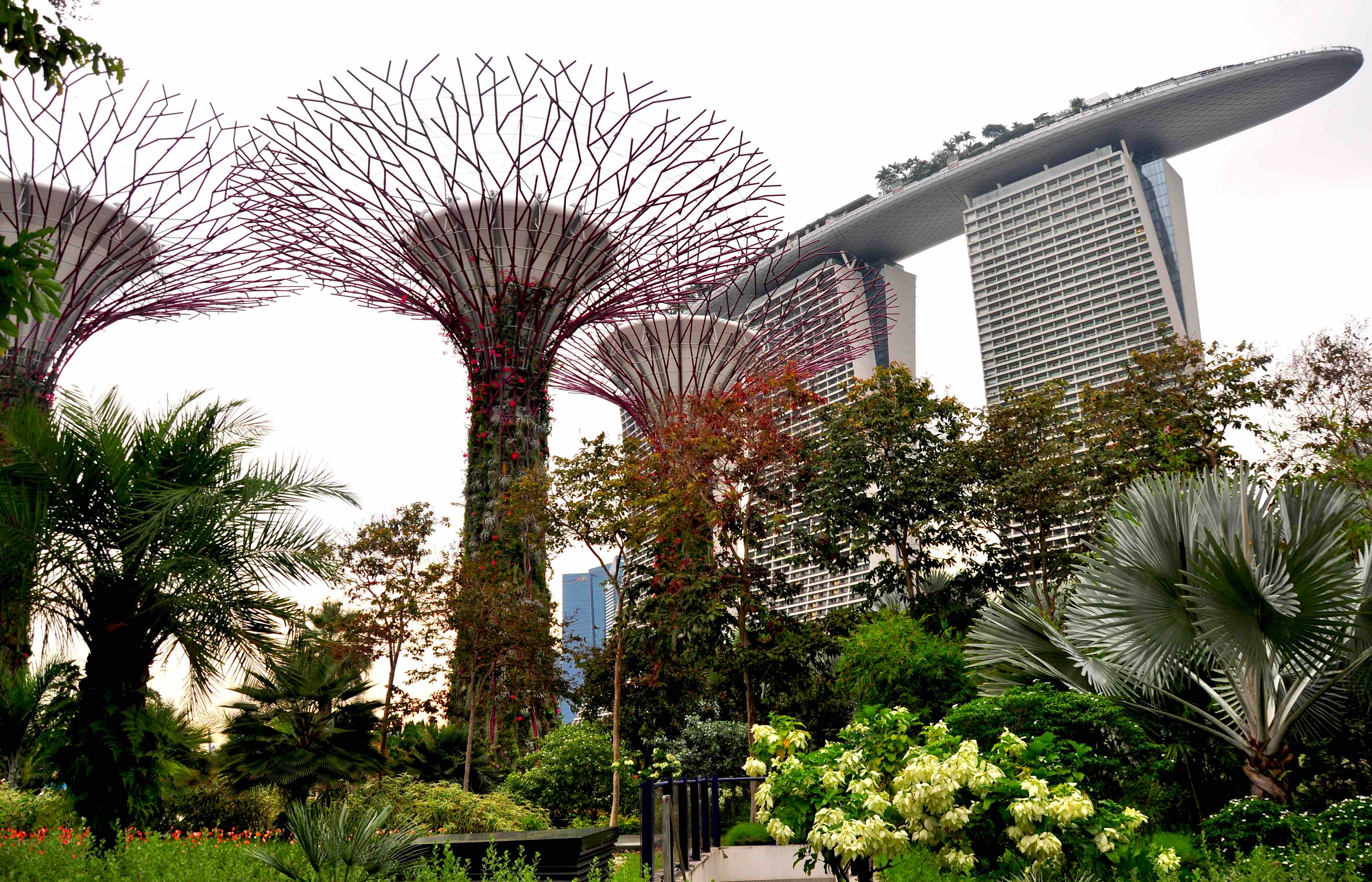
If you are planning to visit singapore as a tourist, below are some travel tips that will help you plan and save some money.
read more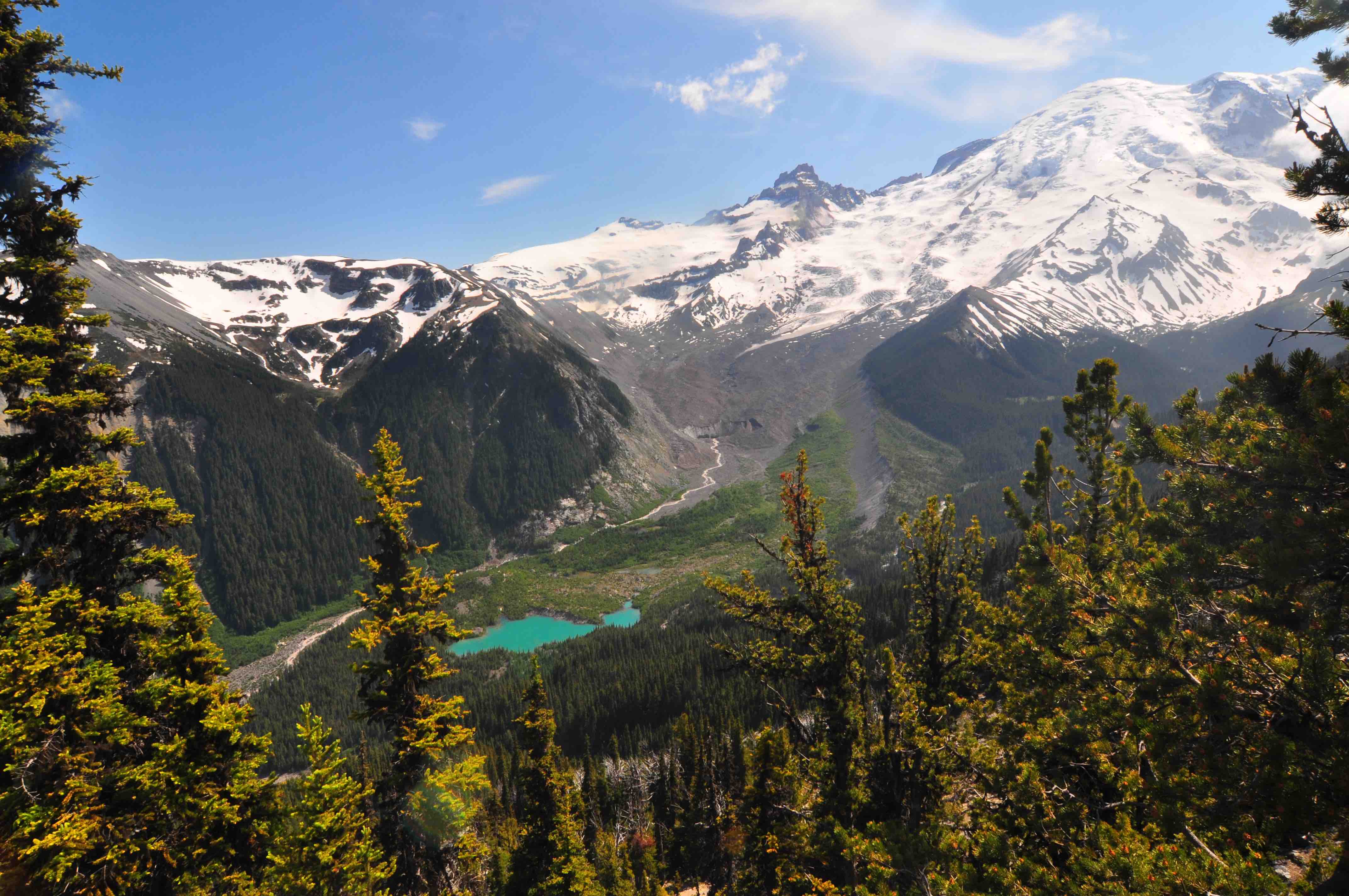
Burrough mountain trail offers spectacular view of Mt Rainier and Emmons Glacier. We do make sure to get couple of trails in the Mt Rainier area every year, and we like to share our pictures and memories from each of our hikes. This one is from a summer starter hike in July couple of days after the road opened till Sunrise visitor center. Snow had almost melted but please check the trail conditions with rangers before heading out. We had to use our microspikes to cross some steep snowfields while crossing the mountain slopes. Something like the Kahtoola MICROspikes Footwear Traction are essential for trails like these.
read more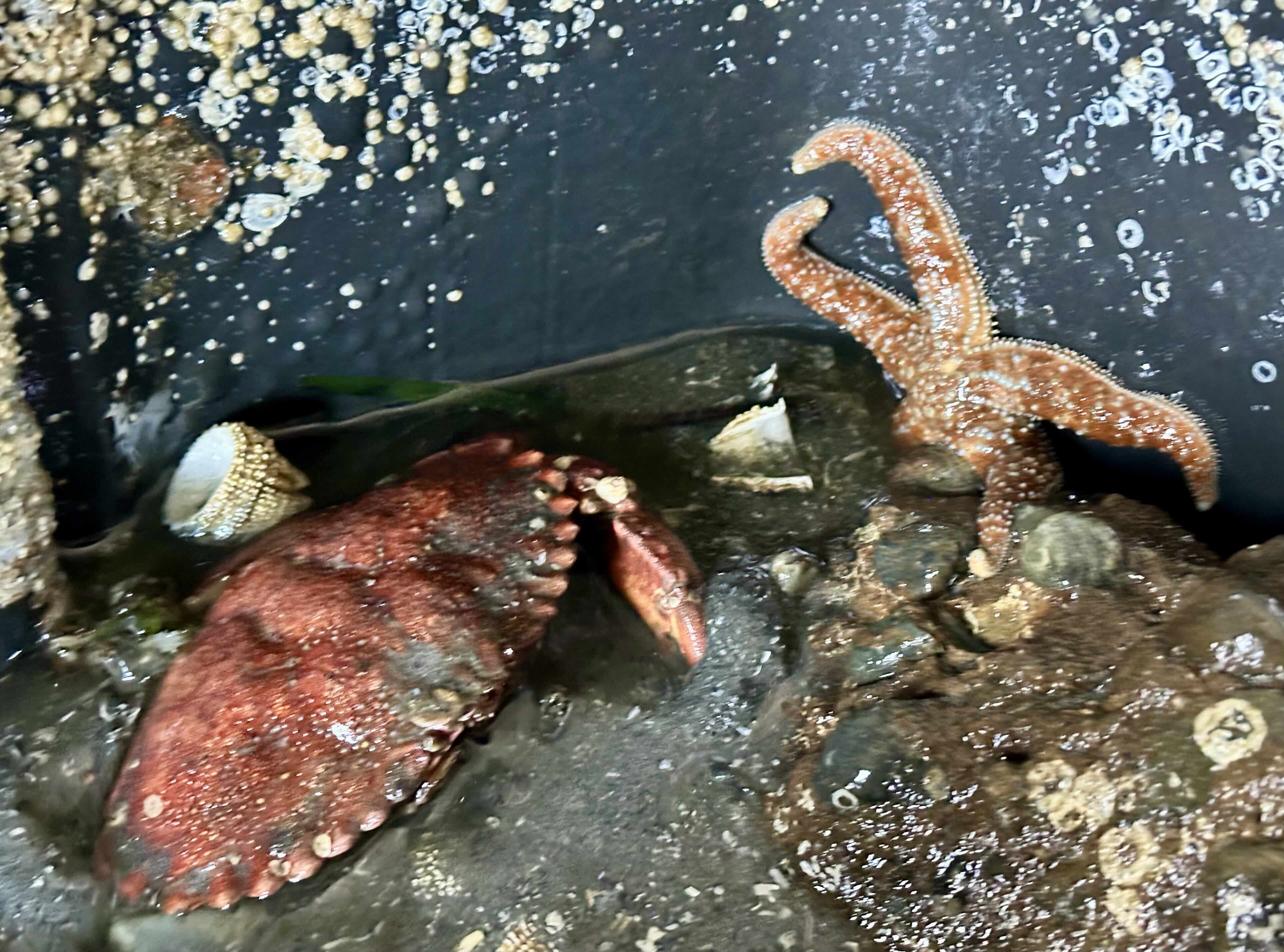
Beach combing at low tide is one of the best free things you can do around Seattle. The Puget Sound shoreline is full of tide pools with sea stars, crabs, anemones and nudibranchs. But the whole experience depends on getting the timing right.
read more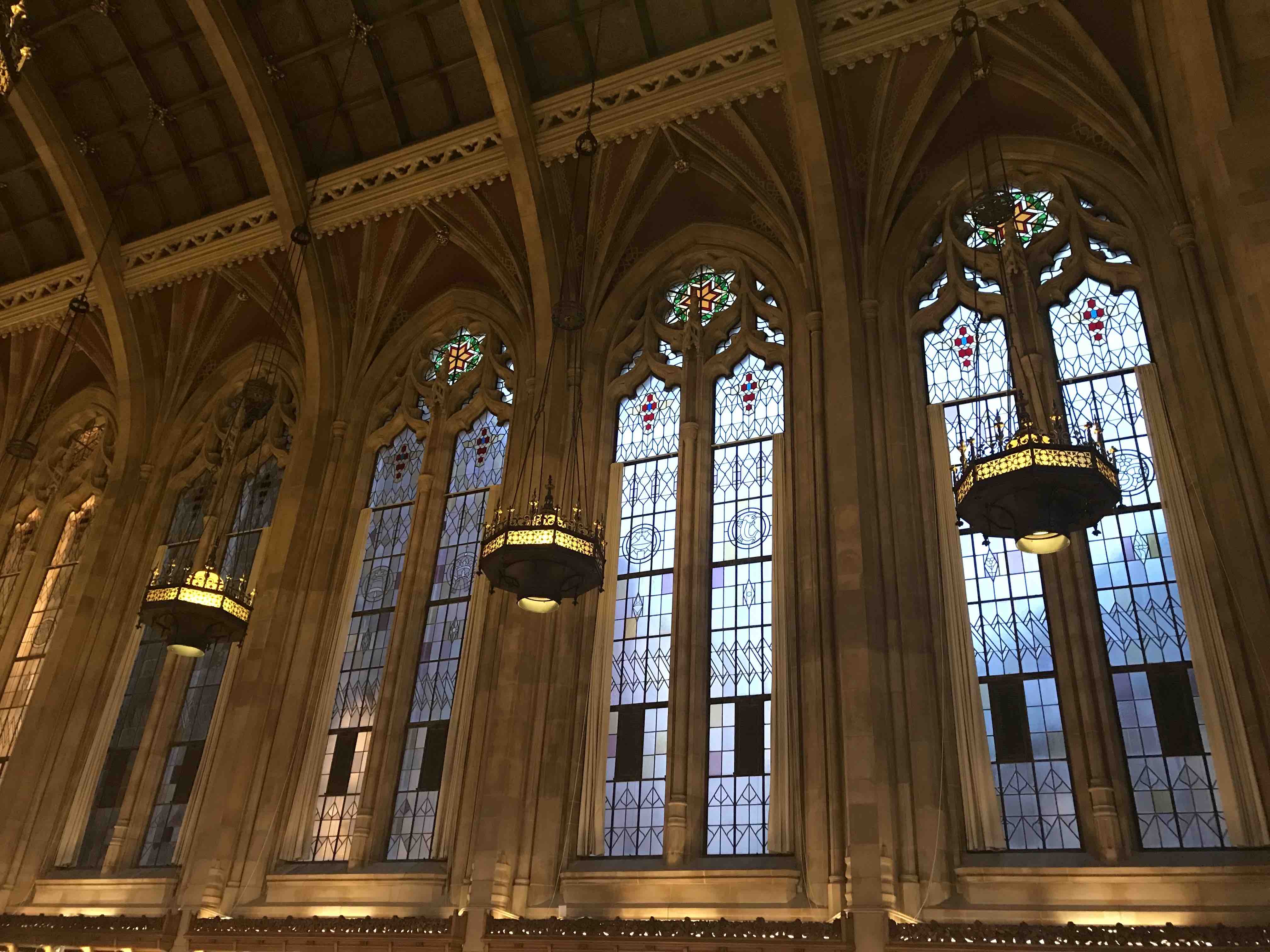
Suzzallo Library is the central library and a landmark in the University of Washington, Seattle. Architecture style of the main library complex is an example of the Collegiate Gothic style architecture.
read more